
Oil and Water: Conflicts Over the Dakota Access Pipeline
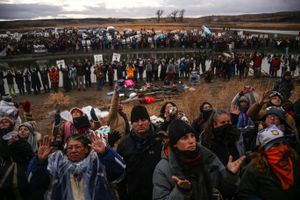
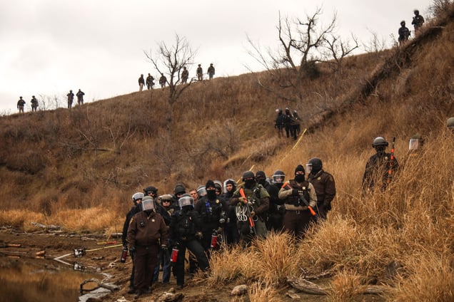
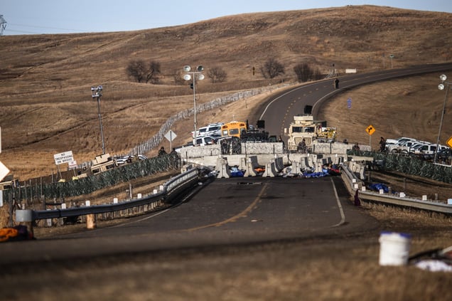
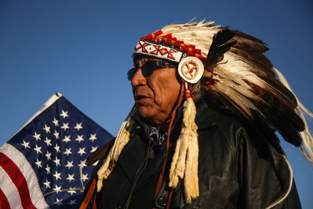
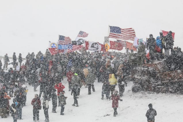
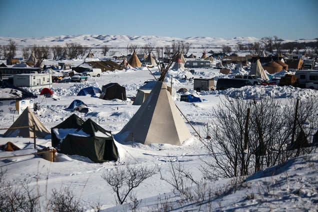
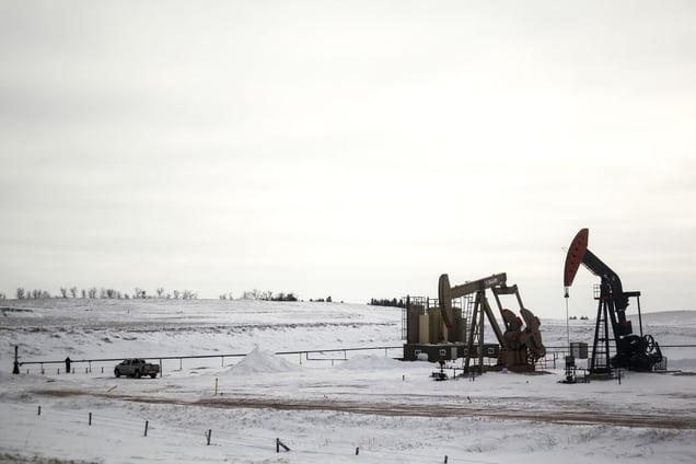
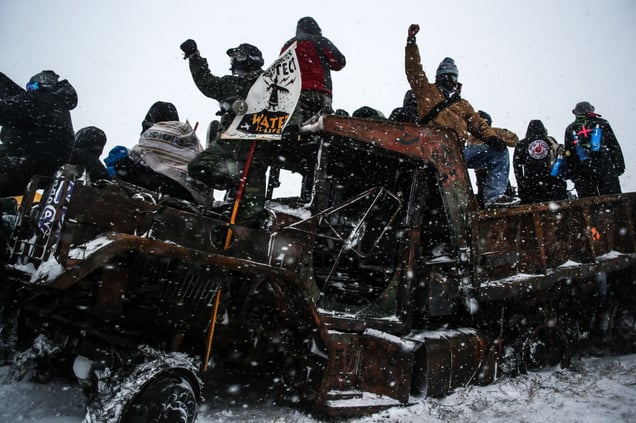
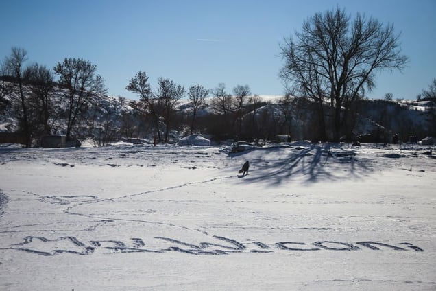
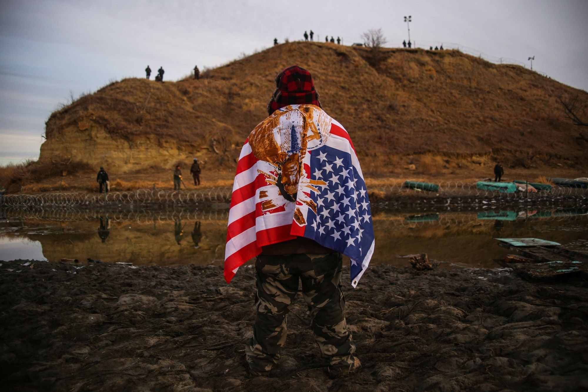
A $3.8 billion project by Energy Transfer Partners to construct a 1,172-mile-long pipeline transporting crude Bakken oil from North Dakota across South Dakota, Iowa and into Illinois has sparked conflict and controversy at a key construction site located on US Army Corps land bordering the Standing Rock Indian Reservation. Native Americans and environmental groups have gathered at the disputed Army Corps of Engineers land just north of the reservation to protest the construction of the pipeline underneath the Lake Oahe reservoir of the Missouri River for months since early 2016. Protestors say that the pipeline poses the possibility of contamination of the Standing Rock Sioux Tribe's primary water source. Land managed by the Army Corps of Engineers where the pipeline has been routed is disputed by protestors to be land of the Standing Rock Sioux Tribe as a result of the 1851 Treaty of Fort Laramie. The treaty established Native American territories and interaction between the tribe and the United States, but was not respected by non-Indians. The treaty council met again to resolve some of these issues in the 1868 Treaty of Fort Laramie establishing specific territorial boundaries and land cessions to the United States. Through the new treaty, the Sioux lost land and would continue to lose land in the following decades. The oil industry in North Dakota has supported much of its economic stability and infrastructure. According to a recent study by Grand Forks firm AE2S Nexus, cities in North Dakota’s oil-heavy Bakken Formation are expected to see a growth in population as oil prices recover. The population growth will require an expansion of city infrastructure and services to keep up with demands needed to provide for its residents. The Obama administration had denied the final easement to Energy Transfer Partners LLC for construction of the pipeline in December 2016. The US Army Corps also committed to the completion of an environmental impact statement in December. In January 2017, newly elected US President Donald J. Trump signed an executive order advancing the Keystone XL and Dakota Access pipelines clearing the efforts of the previous administration. The protest camps located on US Army Corps land are located on a floodplain of the Cannonball and Missouri rivers. Concerns of flooding and resulting environmental damage from structures and waste at the camps have prompted evacuations and evictions ordered by both the Army Corps of Engineers and the Tribal Council. On February 7, 2017, the US Army Corps of Engineers granted the final easement needed to complete the construction of the controversial Dakota Access Pipeline in a court filing. An environmental impact statement that was delaying efforts to grant an easement was also terminated by the Army Corps.
No categories selected
Photos (13)