Cartographica
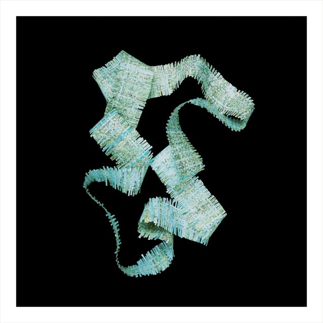
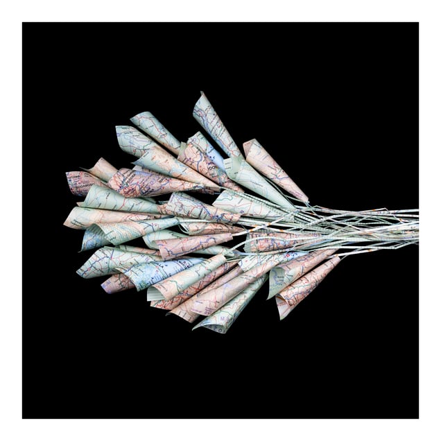
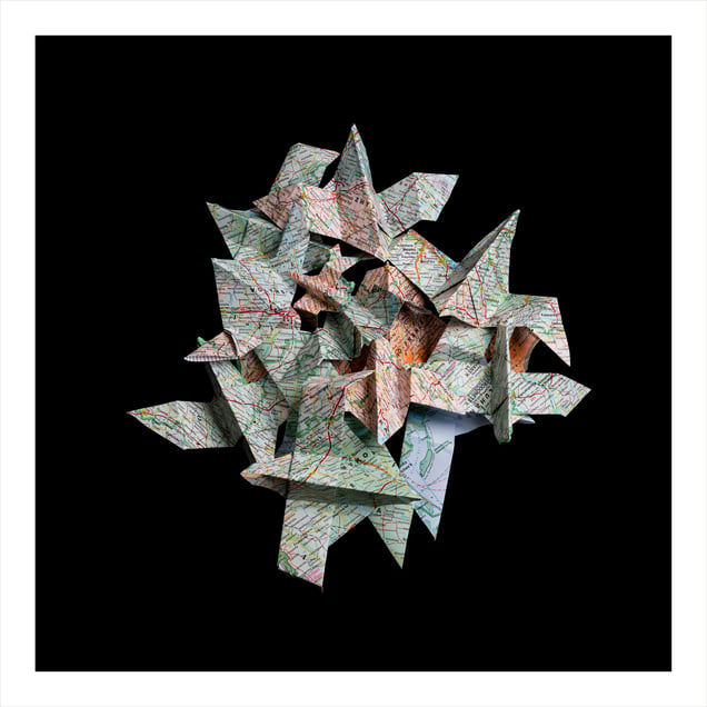
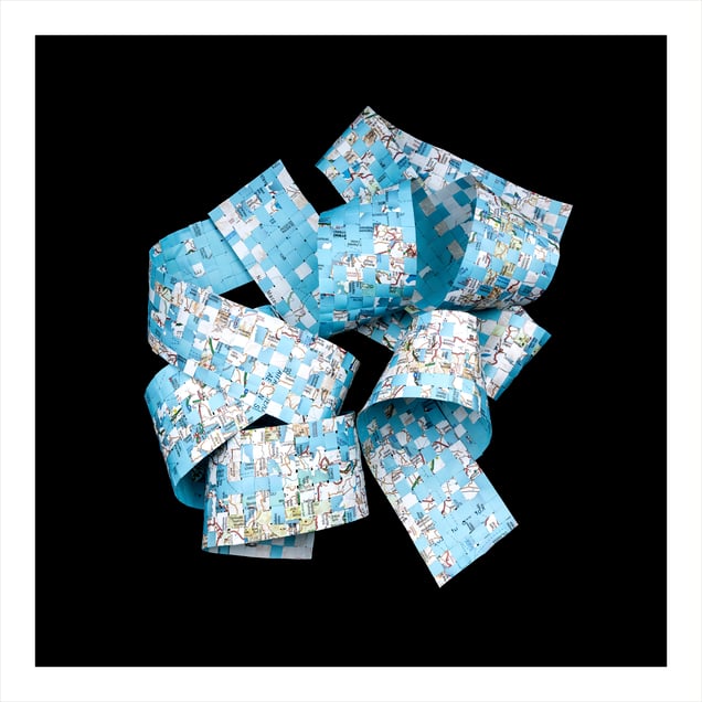
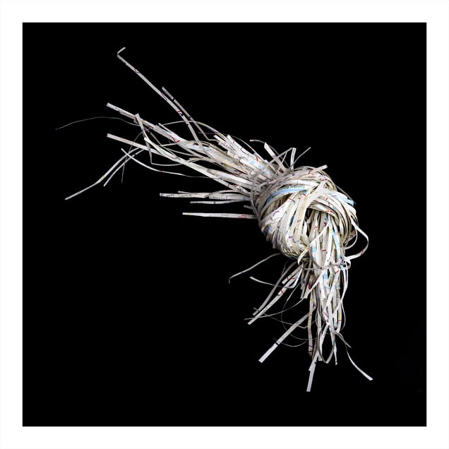
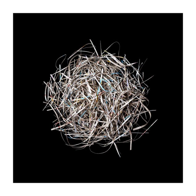
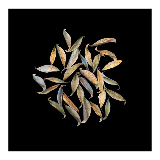
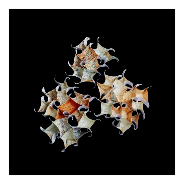
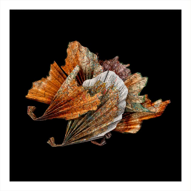
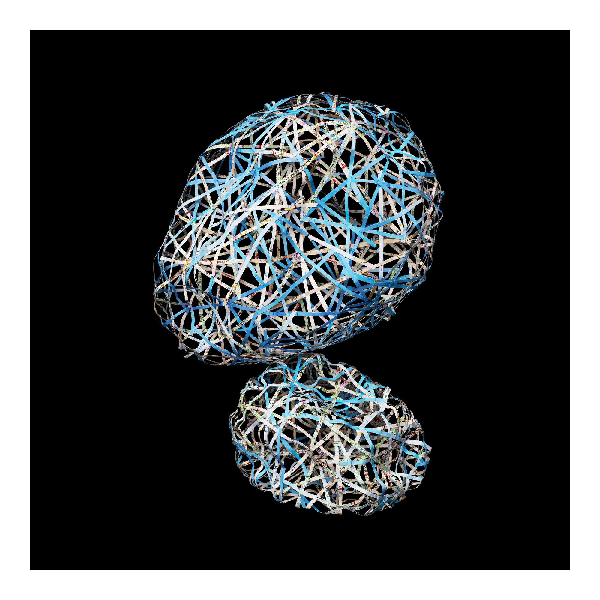
This project draws attention to individual human lives, lives that we are unable to see when we look at a map. It’s about people and their lands, and people and their countries. My images explore geopolitical issues – such as environmental destruction, human rights violations, gender inequality, political upheaval, and even war - through making sculptures out of maps that I reshape. The objects become embodiments of the pathologies that each territory endures including my attempt to imagine the emotions that the people may be facing and the hardships they may be enduring. Photographing the reconstructions returns them to the maps to their flat form and and thereby denies the viewer the ability to study the complete form. A map is a graphic representation, a scale model of spatial concepts. Maps are often considered to be stolid illustrations of borders and landscapes, to be accurate and unbiased. Maps are riddled with bias. For example, the Mercator heavily distorts the size of continents, diminishing the size of those in the southern hemisphere as compared to those in the northern hemisphere. Maps depersonalise. These images, however, do the opposite. They are an invitation to the audience to investigate and question the headlines of our increasingly tumultuous world and, most importantly, to consider the human experiences behind the headlines.
No categories selected
Photos (10)